day 5: history and sunset
SANTORINI DAY 5 :
A N C I E N T T H E R A , A K R O T I R I , S U N S E T A T F I R A
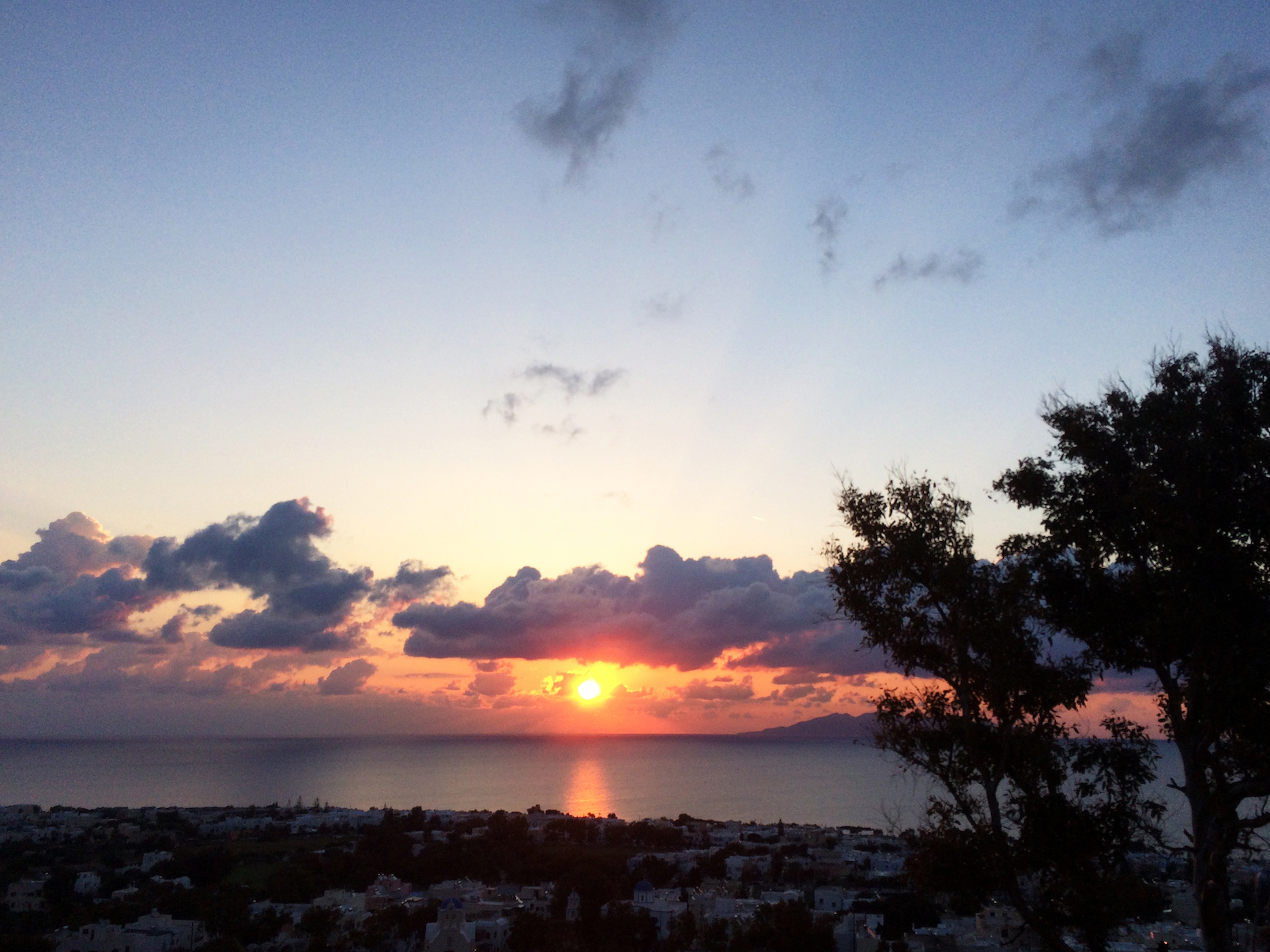
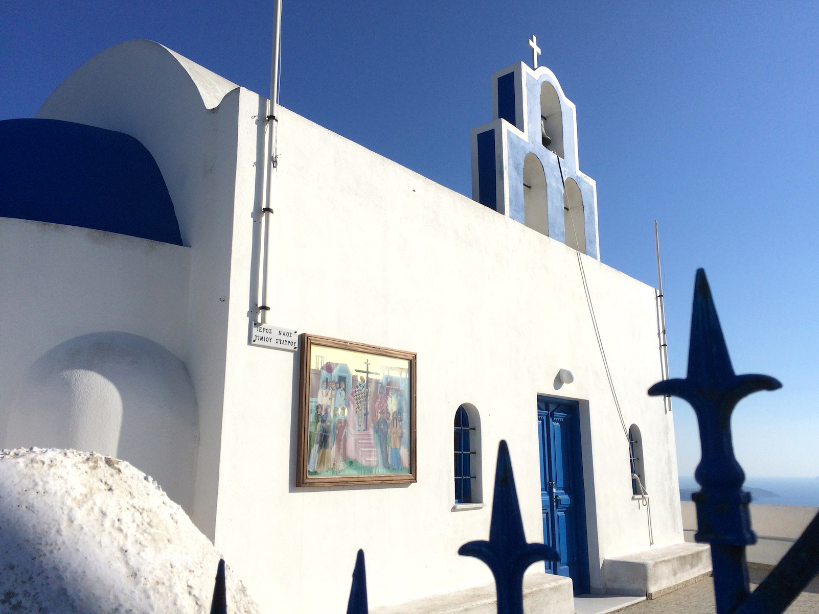
after all the rain and thunder throughout the night, came the astounding sunrise! what a perfect beginning to my last full day in thira!
夜通し、雨・風・雷が凄かったです。でもその代わりに待ち受けていたのは、見事な朝日!出発前の最終日に最高な始まりでした。
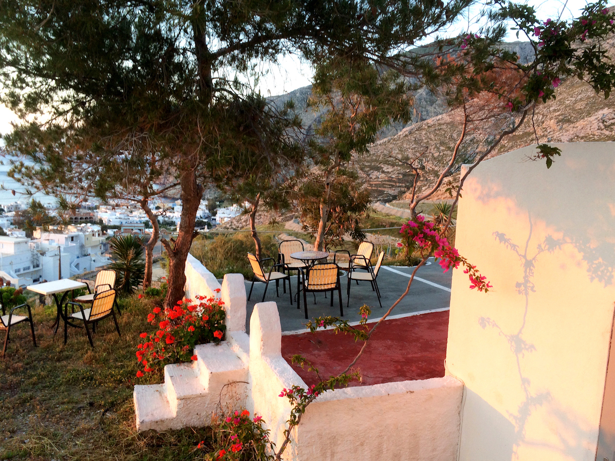
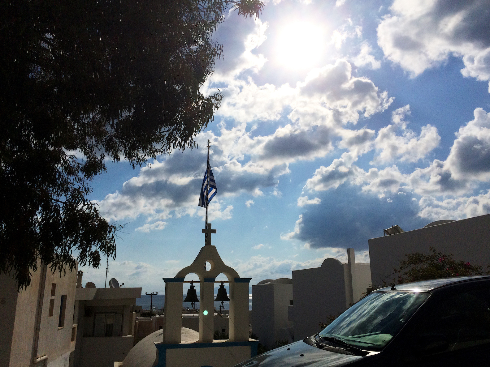
the blue sky, sunshine, white walls, grecian flag, all couldn’t be more picturesque than on this day.
青空、太陽、白い建物、ギリシャ国旗。
. . . . .
– A N C I E N T T H E R A –
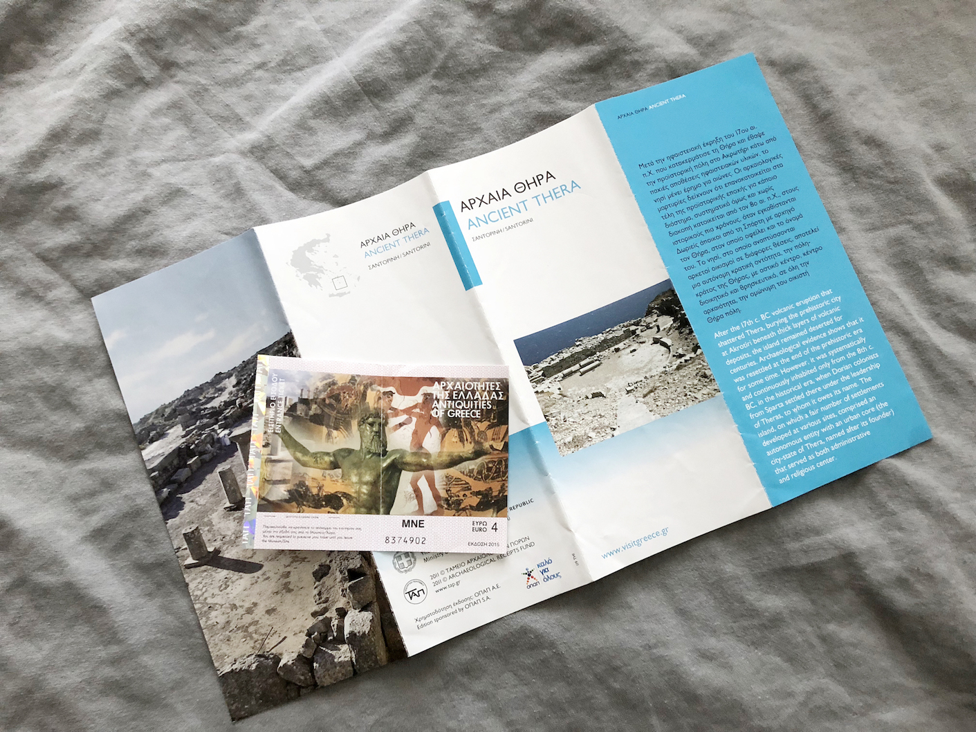
i’ve gathered the photos of ancient thera here! it was quite something to think these ruins were inhabited as early as the 8th century BC. most of what remains seems to have been rebuilt and expanded by later inhabitants until the 8th century AD. i’m not a historian so i won’t explain in detail, but i share photos of explanations and the ruins in the link above!
最初に行ったのは、古代ティラの遺跡。写真はこちらにまとめました。紀元前8世紀にはここを住みかとされていた人々と同じ土を踏んで、胸が躍りました。それから8世紀にかけて他の民族が移り住み、何度も改築、発展されて来ました。歴史家ではないので、あまり詳しくは説明できませんが、写真とその説明書き(英語になりますが、図を参考に)を上記投稿リンクにまとめました。
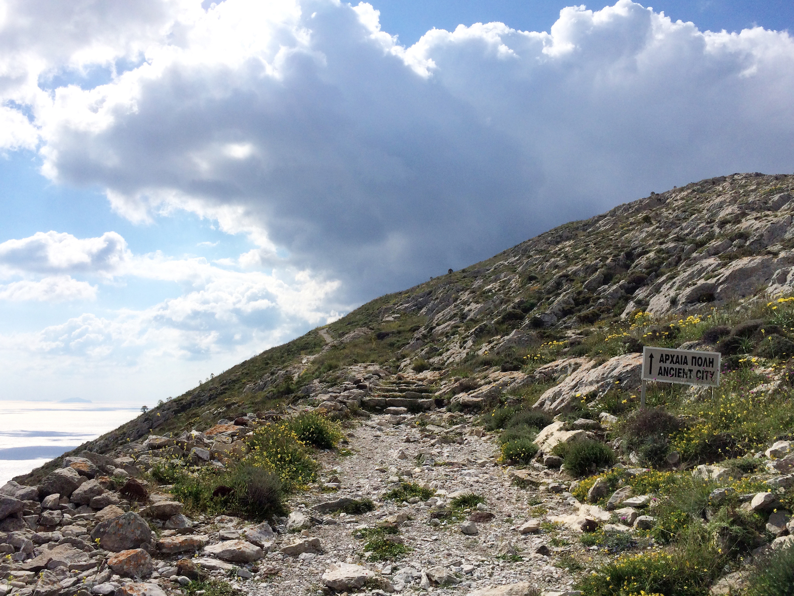
– H I K I N G U P T O T H E
M O N A S T E R Y O F P R O F I T I S I L I A S –
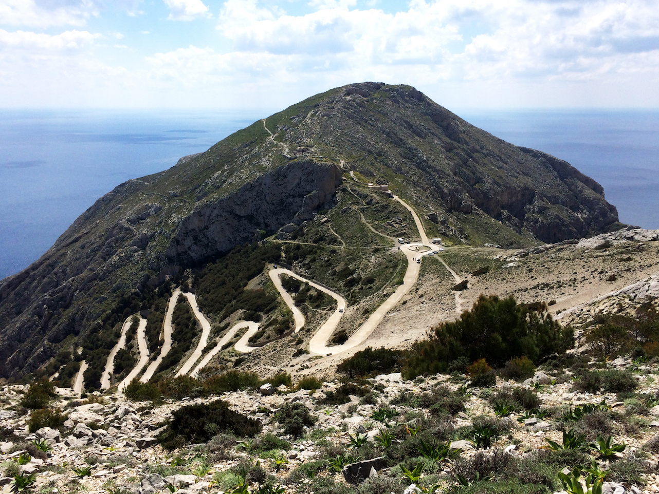
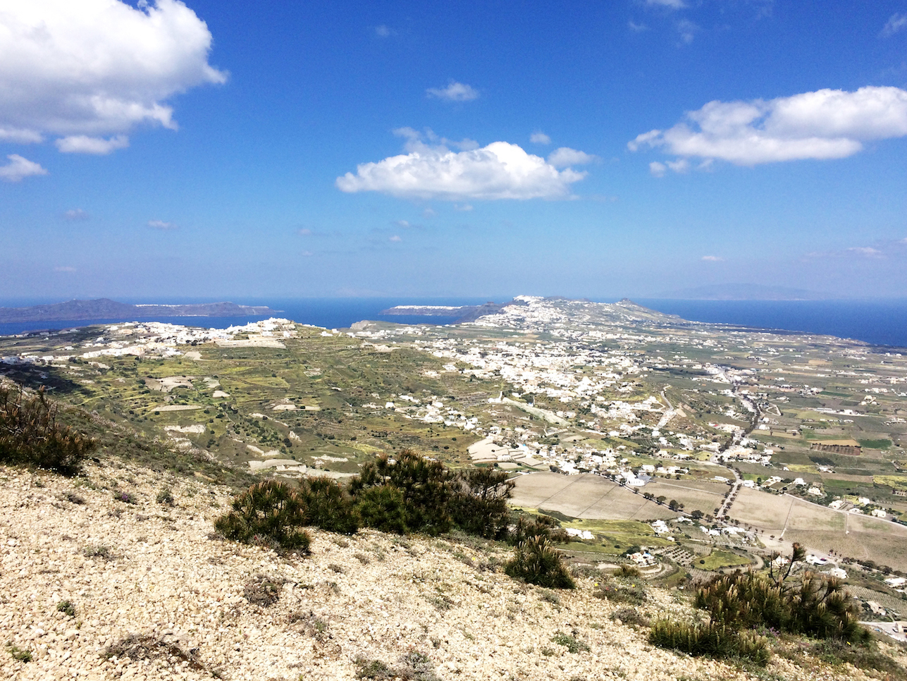
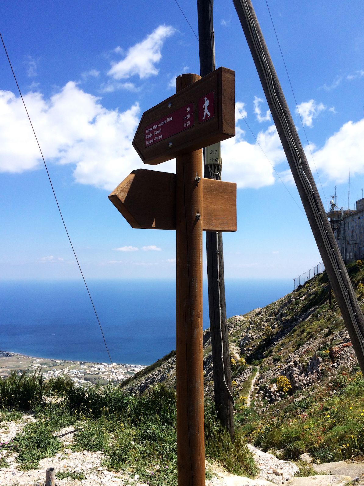
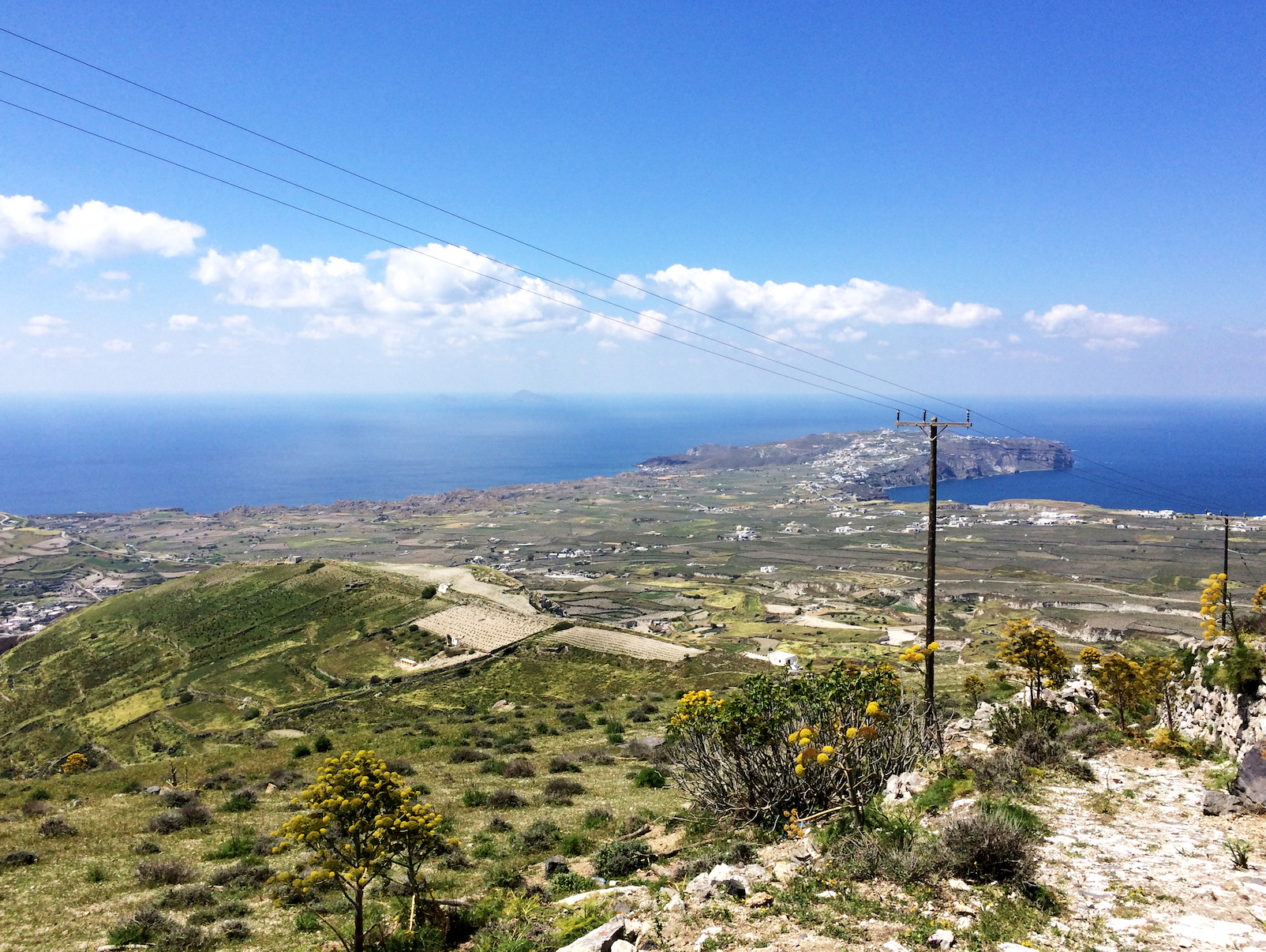
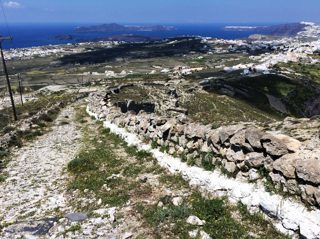
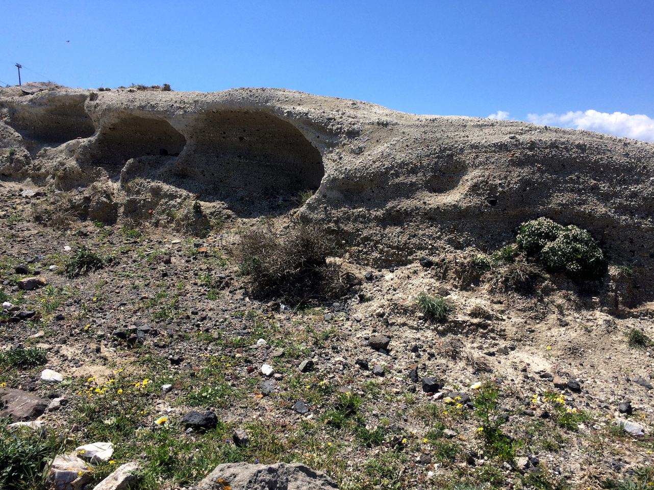
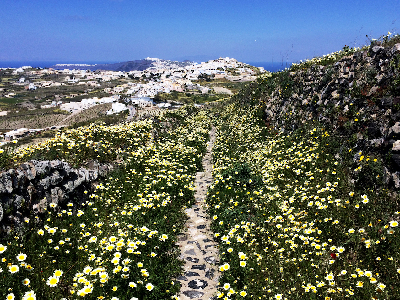
moving on after ancient thera, i started hiking towards the monastery of profitis ilias (prophet elias). this photo is looking back towards ancient thera. the winding road on the left goes down toward kamari. the roundabout leads to the entrance of ancient thera; you can see the snake-like path a third of the way down the mountain inside the ancient thera ruins. beyond the top of the mountain is where the central and southern sections of ancient thera would be, facing due south. to the right of the mountain would be perissa (where i came up from on day three).
古代ティラの遺跡後、プロフィティス・イリアスの修道院に向かってハイキングし始めました。この写真は、古代ティラの方を見て。ジグザグの道路はカマリへ進みます。ロータリーから写真上に向かっているのは古代ティラの入口へ。向こうの山の左側、てっぺんから3分の1降りたところに遺跡内の歩道が見えます。向こうの山の海側は南向き、古代ティラの中心部から南部があります。山の右側は三日目に登ったトレイルがあるぺリッサ側。
the red circle in the below map is where i took the photos below. the numbered circles represent the direction the photo was taken in perspective from the red circle.
下記地図の赤●は立ち位置。その立ち位置から撮った写真の方向を番号で記載しています。
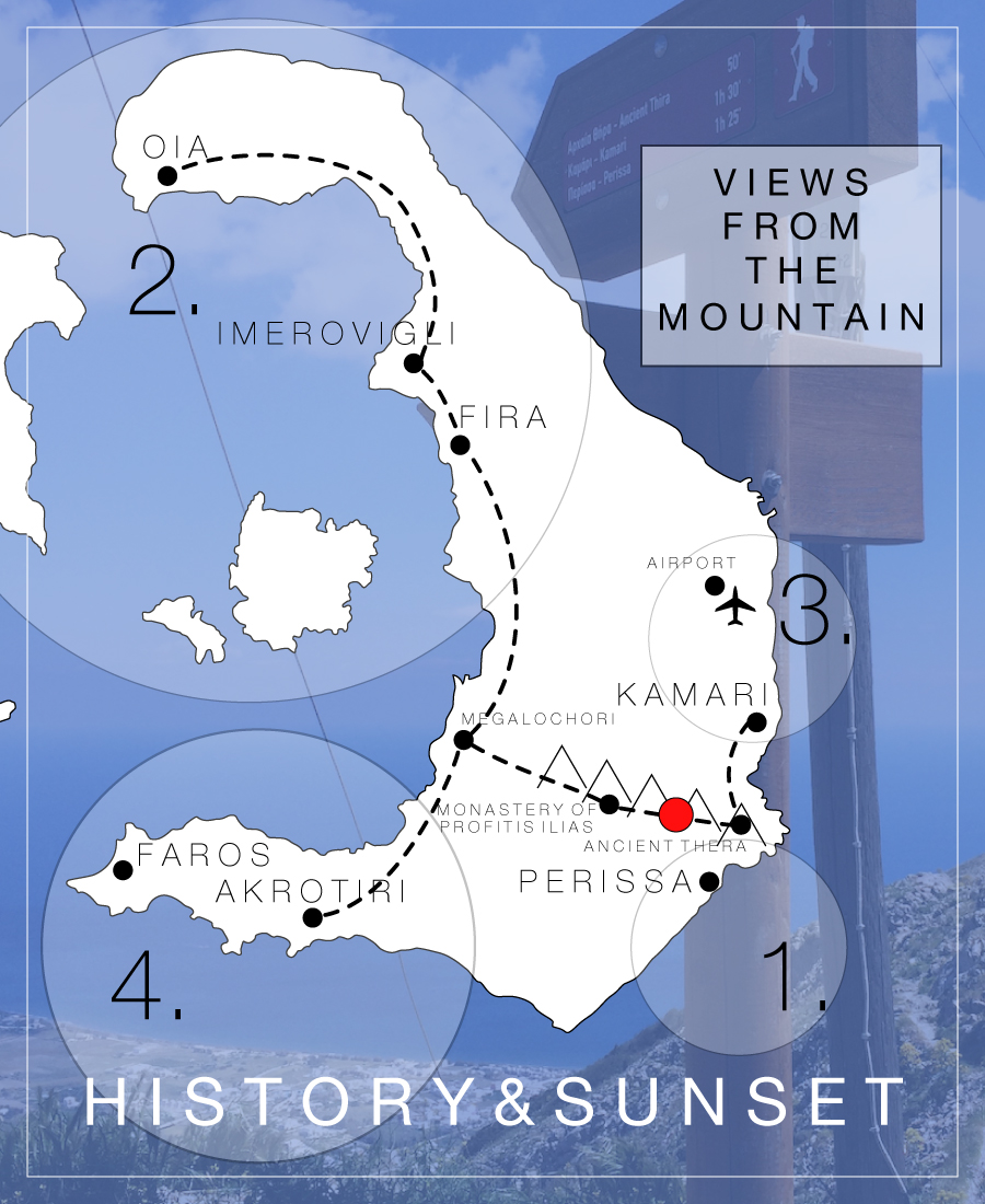
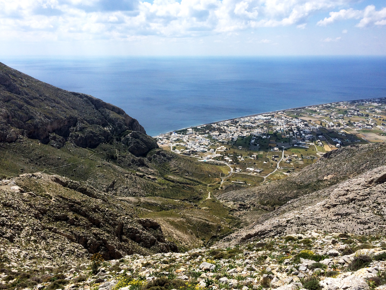
this is a view of perissa and perivolos along the shoreline. (*see 1. in map above)
海岸沿いにペリッサとペリヴォロス。(*地図 1.)
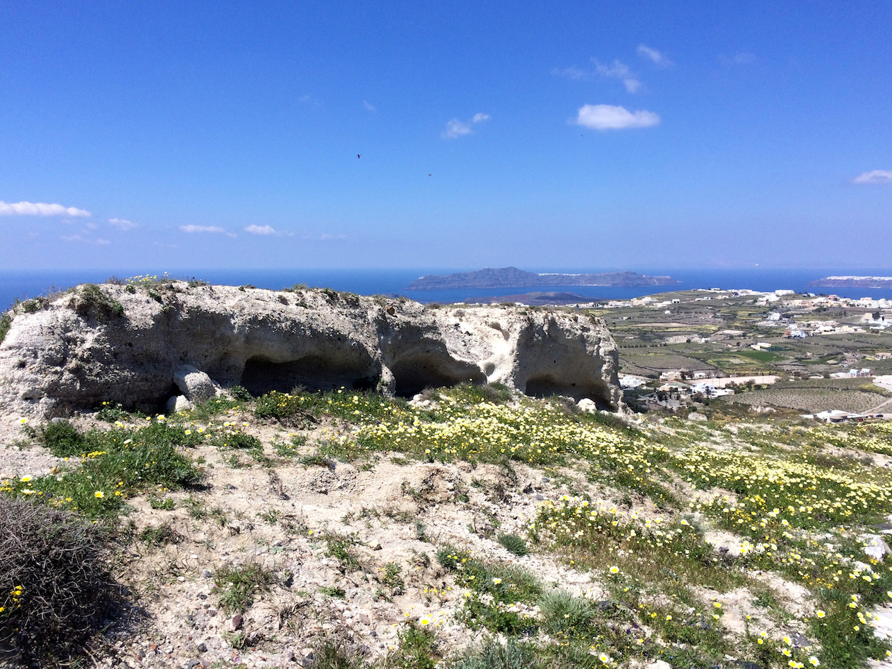
this is a view facing fira, oia, and the caldera. (*see 2. in map above)
フィラ、イア、とカルデラ。(*地図 2.)
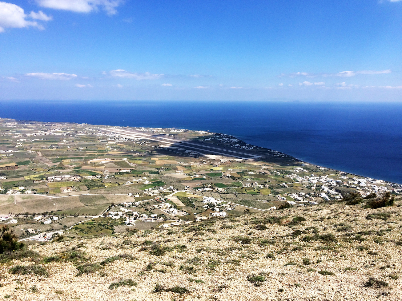
that’s the airport! (*see 3. in map above)
空港!(*地図 3.)
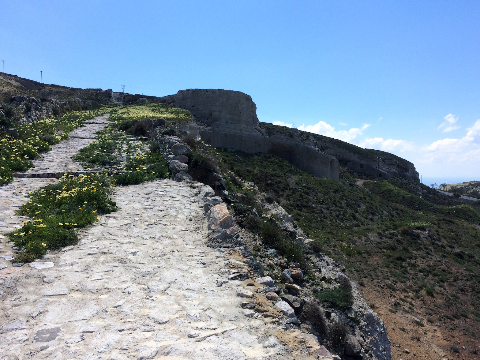
yay!!! i made it to the top!!! to tell the truth, i lost the path multiple times, and it was more treacherous than i was prepared for (because i lost the path?)…
頂点まで登れました!正直言うと、ハイキングトレイルが曖昧なので、何度もトレイルから外れてしまいました。予測していたよりだいぶ危険な(岩を登ったり、とげの多い茂みがあったり)道でした。
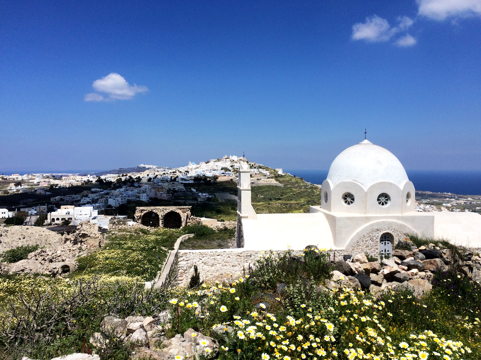
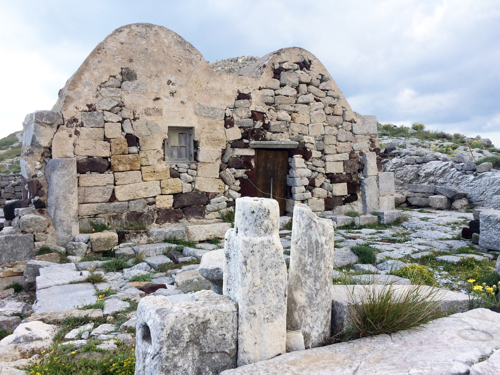
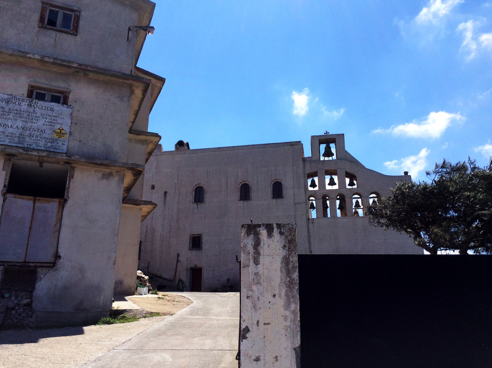
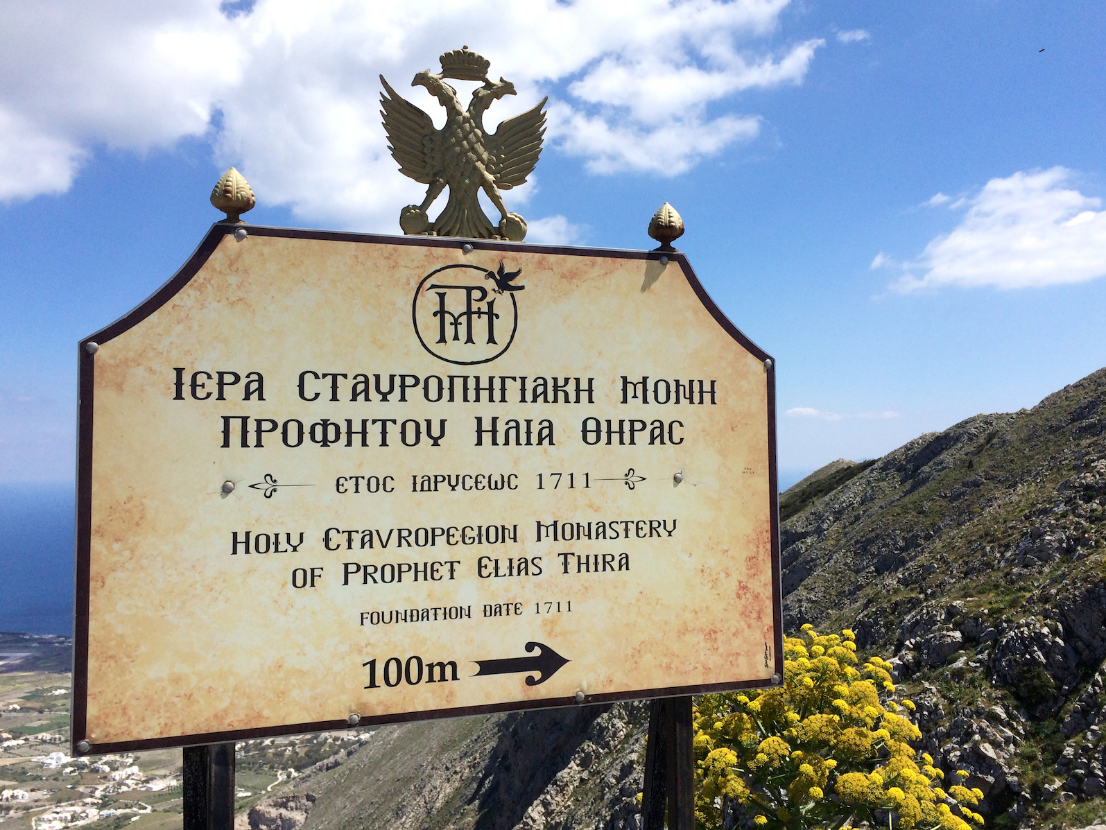
– T H E M O N A S T E R Y O F
P R O F I T I S I L I A S –
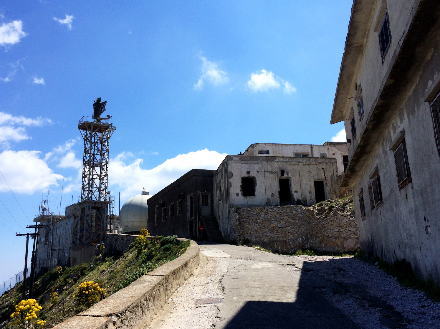
don’t mind the radiation… o_o / 放射線??
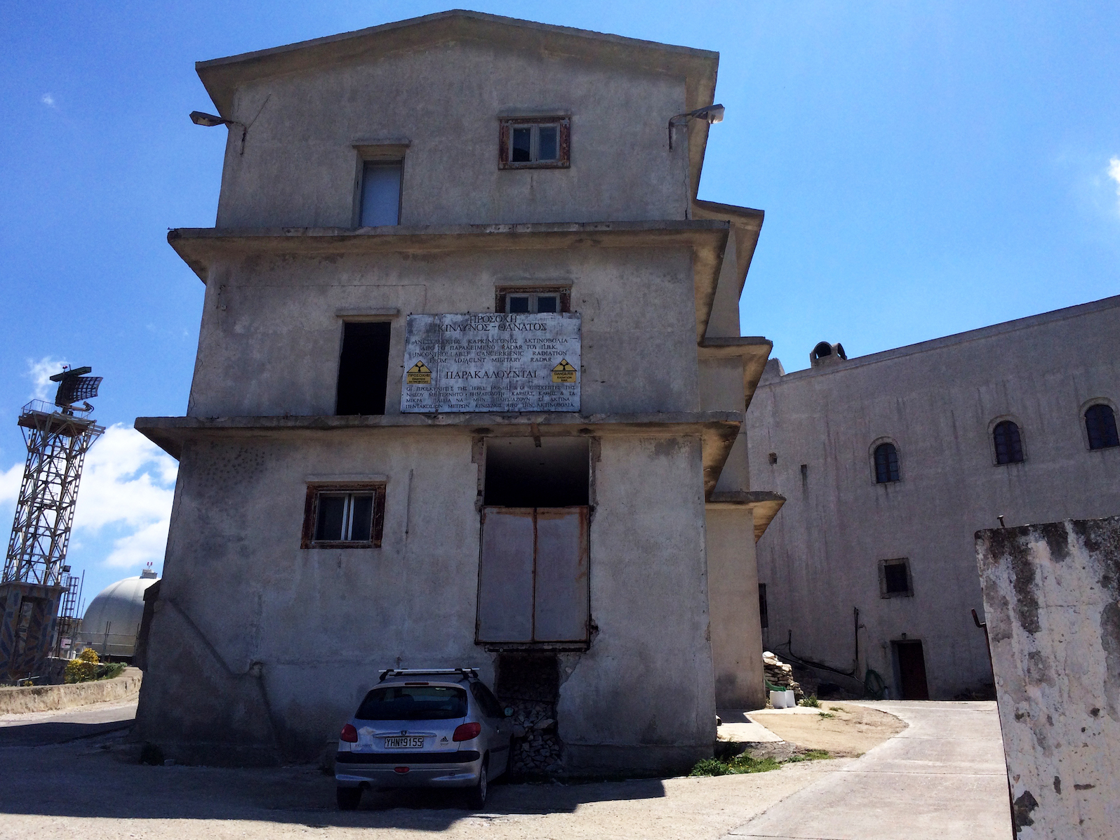
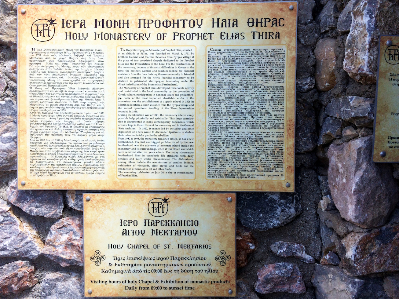
here’s some basic information about the monastery of profitis ilias:
プロフィティス・イリアスの修道院についての情報:
A Brief History of Santorini’s Monastery of Profitis Ilias
by Ethel Dilouambaka for The Culture Trip
i couldn’t visit inside, possibly because it was around lunchtime, but here are some photos i got of the outside (and really, please ignore the fact that my big ol’ finger is in one of the most important photos…).
お昼休み中だったからか、中を見学できませんでしたが外壁の写真は撮れました!すごく残念なことに一番メインの写真に指が入ってしまったこと。。。(T_T)
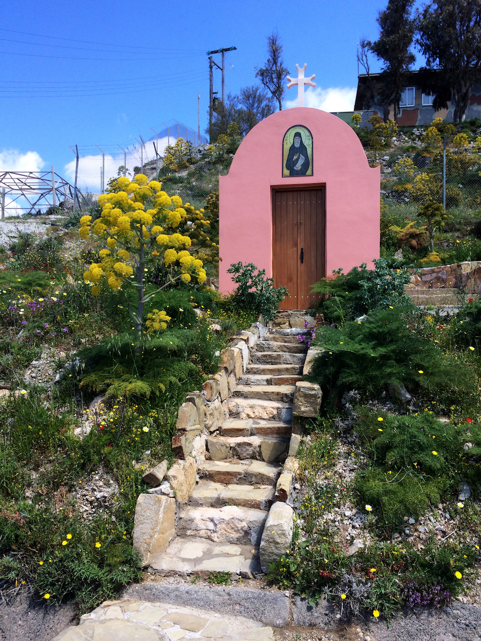
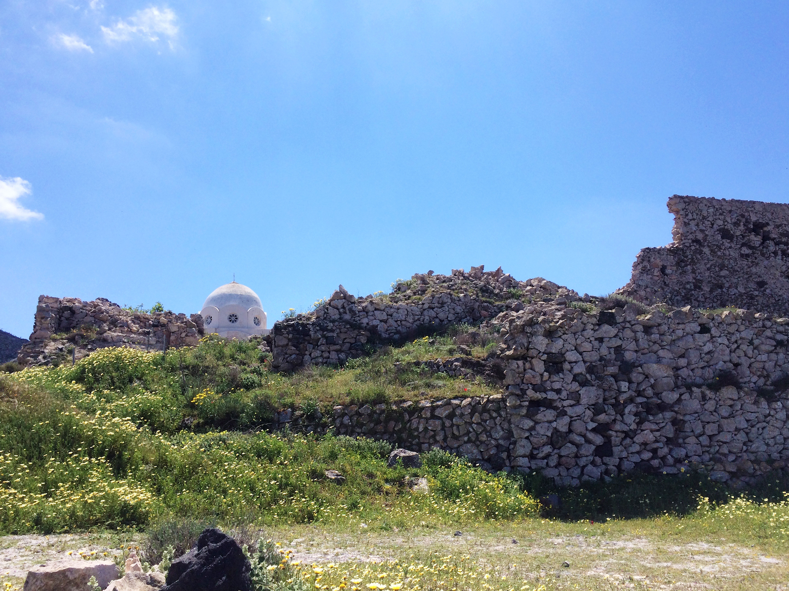
one last look around the monastery before descending towards megalochori, which is the nearest bus stop.
修道院付近をもう一周し、メガロチョリに向かいました。
– H I K I N G T O
M E G A L O C H O R I –
this is faros, the western tip (in the south) of thira. i couldn’t make it here this time since it is apparently more convenient by car. (*see 4. in map above)
こちらは、ファロス。ティラ島の最南端の町。元々こちらで泊まろうと思っていたのですが、車がないと移動が難しいため断念しました。(*地図 4.)
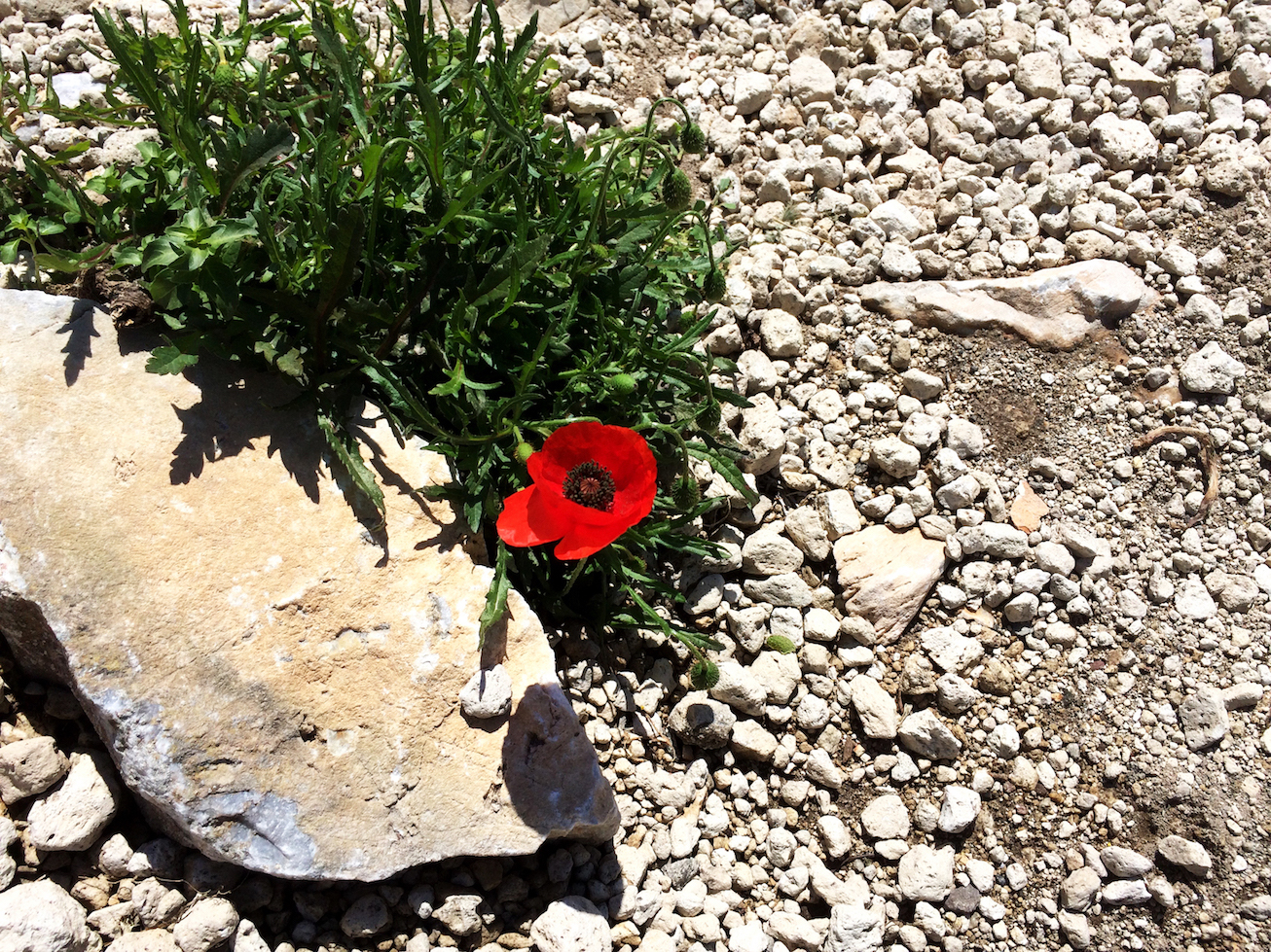
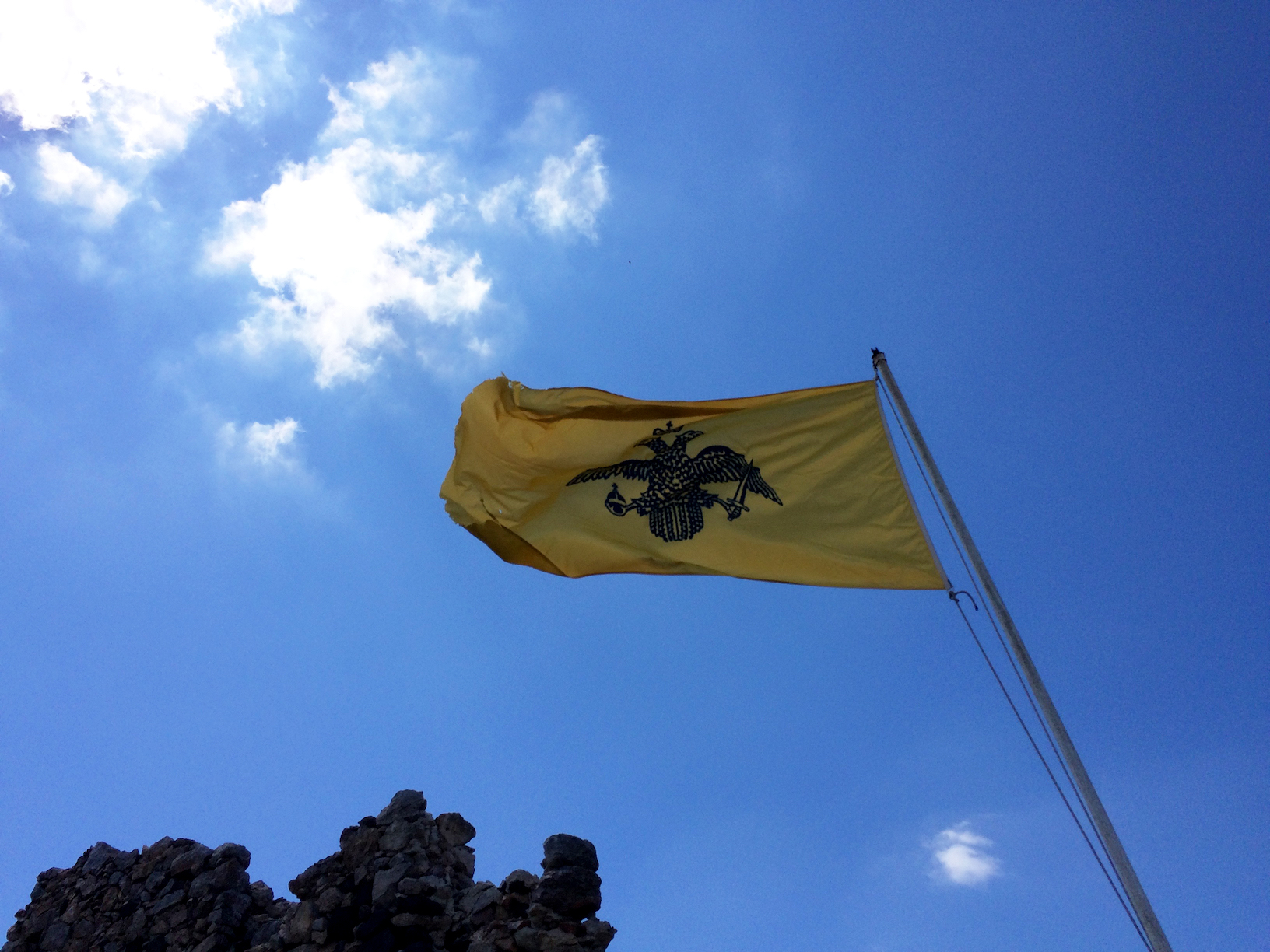
the nature, rocks, ruins along the way to megalochori! after a quick google search, that flag apparently represents the greek orthodox church.
この島で見る自然は常に石と花が隣り合わせになってバランスし合っています。黄色の旗は、ギリシャ正教会のものです。
– A K R O T I R I –
from megalochori, i visited akrotiri (i wanted to see the red and white beaches), but by this time i was absolutely exhausted. i nearly took the bus straight back to fira, when i turned around and saw that the akrotiri excavations archaeological site was right by the bus stop. something in my head told me to stay. unfortunately, i didn’t get any photos (except the one below, inside the excavation facility) or pamphlets, but here are some links:
Santorini Archaeological Sites : Akrotiri Excavations
from Santorini.com
A Life’s Work: The Excavation of Akrotiri in Santorini
by Tassoula Eptakili for Greece Is
メガロチョリからバスに乗ってアクロティリへ向かいました。ここでは赤と白い砂の海が名物ですが、午前中のハイキングで憔悴。バスでそのままフィラまで戻るか悩みましたが、バス停を背にしたらアクロティリの遺跡博物館の入り口が目の前にありました。せっかくアクロティリに来たのであれば、一つでも何かを見て行こうかと思い、入ってみました。残念ながら写真は撮っておらず、パンフレットもありませんでしたが、上記リンクを見つけました。日本語ですと、こちらが詳細に紹介されていました:
アクロティリ遺跡と博物館
by 遺跡ときどき猫
it really is something to see! to me, this is even more significant than ancient thera, as this site dates back as early as the 4th MILLENIUM BC! the civilizations that lived here until the early late bronze age (around 17th century BC), had 2-3 story buildings, amazing paintings, and even a drainage system (i mean, toilets??). the town was abandoned after a series of severe earthquakes preceding a volcanic eruption in the late 17th century BC. covered in volcanic material, the town was preserved until they officially began excavations in 1967 and are currently continuing excavations.
アクロティリ遺跡の方が古代ティラより興味深かかったです。と言うのも、こちらは紀元前4千年紀(古代ティラは紀元前8世紀からでした)から存在していたからです。アクロティリの人々は青銅時代(紀元前17世紀)まで住まれていて、この時代にすでに2〜3階建の建物を建て、美しい絵画もあり、排水装置(トイレですよ!)までも考えられていました。紀元前17世紀に起こったサントリーニ火山の大噴火により、火山灰に埋もれてしまいこの遺跡は1967年の本格発掘まで保存されていました。この遺跡には人の骨などは見つかっておらず、恐らく大噴火前の地震が前兆となり、無事逃げ切れたとか。
the shelter that protects the excavations is quite interesting, also. protecting from the elements while keeping the ecosystem as stable and comfortable as possible, they made a bioclimatic building utilizing the four elements with minimal energy consumption. (please do visit this website if you are interested in bioclimatic structures!)
今もまだ発掘作業が続けられているみたいですが、現在の自然の要素から受ける影響を軽減するよう、そしてなるべく遺跡の環境を保護するような保護施設が建てられています。風通しが良く、作業をしている人のために適切な温度を保たせるための建物は、余計なエネルギーを使わずに自然の4元素を最大限に利用されています。(また、英語になってしまいますが、環境を配慮した建築にご興味のある方はこちらのリンクを一度ご覧ください!写真や図もたくさん載っています。)
intrigued and motivated again, i took the bus to fira. this was the last (and most important??) bit of my trip! SUNSET!!!
アクロティリ遺跡を見て元気復活!フィラへ戻り、今回の旅の目玉、夕陽ハンティング開始!
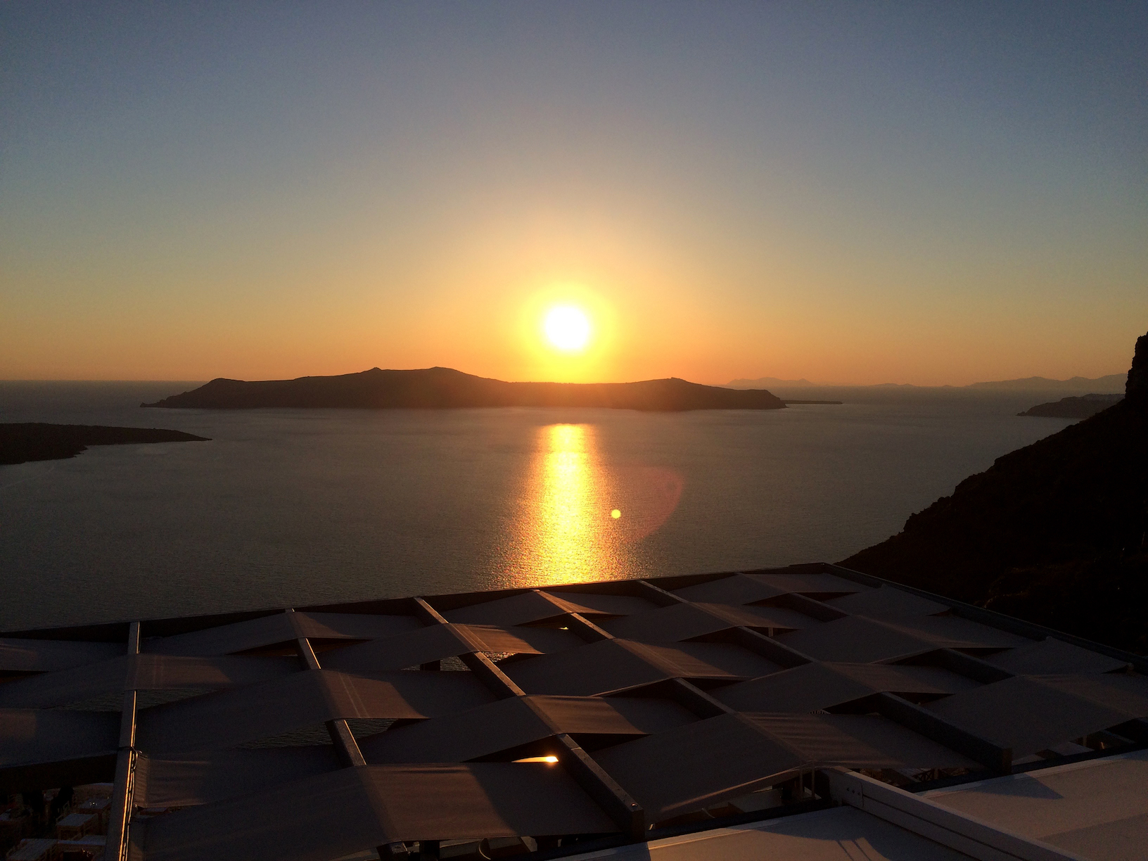
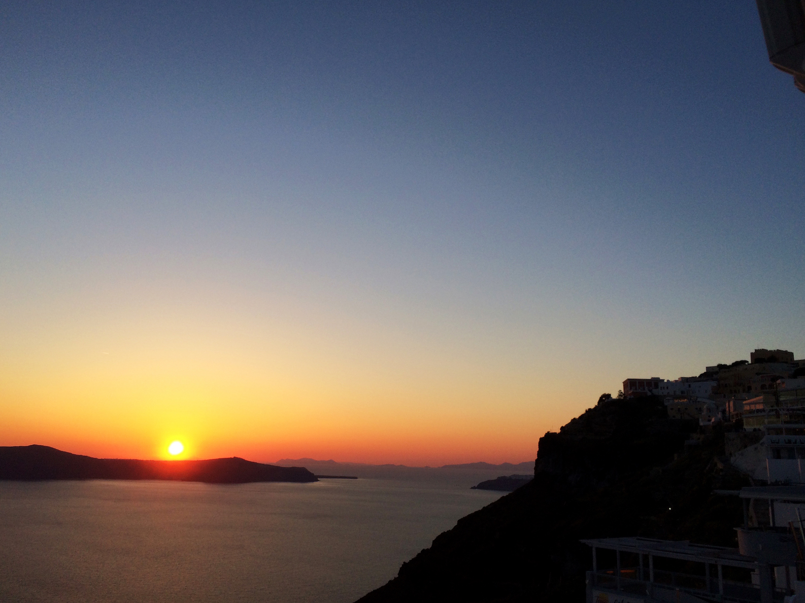
– S U N S E T A T F I R A –
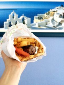
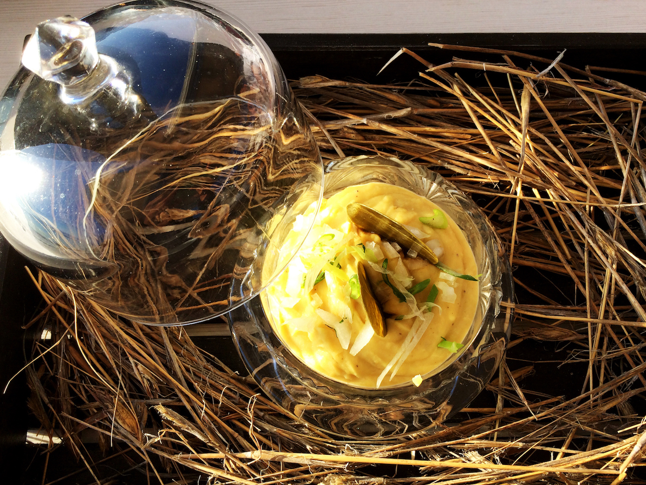
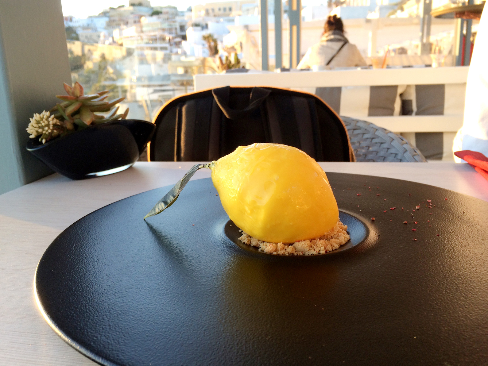
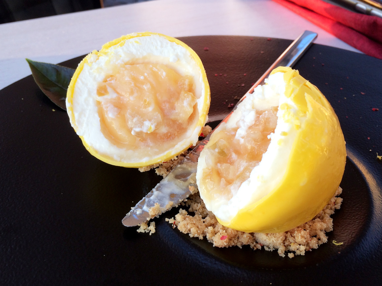
i took a walk to oia, in hopes of seeing the sunset here. however, with the exertions of the whole day (i walked more than 20km this day), i decided to watch the sunset from fira (which was just as spectacular), while having one last gorgeous dinner. i had some help from a greek native, making sure i ordered the right foods, and absolutely grateful for that! HERE GOES:
フィラからイアまで再び歩きました。が、一日の疲れを考えて(この日だけで20km歩きました)、バスで帰りやすいフィラまで戻ることに。フィラでの夕陽も十分美しく、奮発して贅沢なディナーもいただきました。ローカルの人にアドバイスしてもらって、メニューから選びました:
and then / そして:
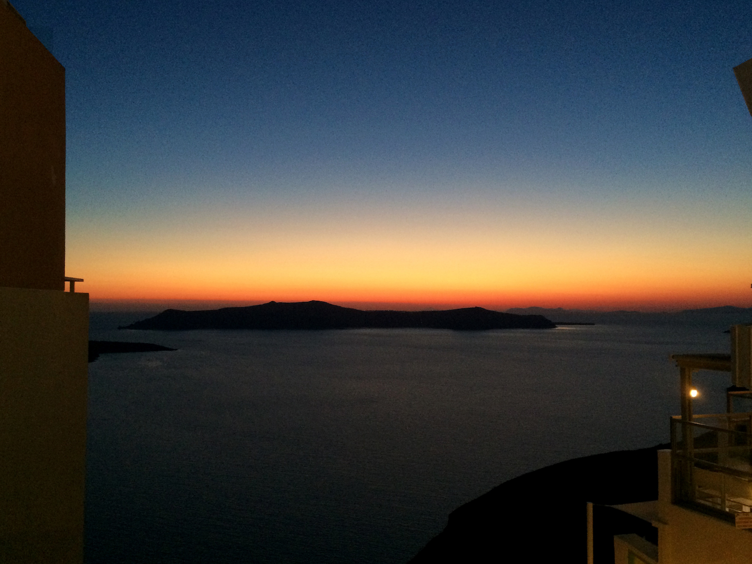
kalinihta / カリニヒタ〜(おやすみなさい)?
see my post about santorini food here:
サントリー二の食についての投稿はこちら: